GPSMAP® 67i Handheld GPS
The Garmin GPSMAP® 67i is a rugged handheld GPS and satellite communicator that can help you stay safe and connected while exploring the outdoors. It features a built-in SOS button, inReach® satellite communication, and a flashlight, making it ideal for remote outdoor use.
The GPSMAP® 67i comes preloaded with TopoActive maps of Europe, as well as BirdsEye Satellite Imagery. These maps provide you with detailed information about the terrain, so you can plan your route with confidence. You can also add custom maps and points of interest to the device.
The GPSMAP® 67i is built to withstand the elements, with a water-resistant rating of IPX7 and a shockproof rating of MIL-STD-810G. It features a 3.8" colour display that is easy to read in bright sunlight, and it has a long battery life of up to 165 hours in tracking mode and up to 425 hours in expedition mode.
Key Features
- Preloaded TopoActive European maps
- Up to 425 hours of battery life in expedition mode
- Two-way messaging with GARMIN MESSENGER™
- Share your live location with tracking
- Global emergency SOS trigger
- Multi-band technology and GNSS support
Other Features
- Premium map features with Outdoor Maps+ subscription
- 100% Global Iridium® Satellite Network
- Plan, review and sync waypoints with GARMIN EXPLORE™
- Optional inReach weather forecasts
- Military standard thermal, shock and water resistance
- LED flashlight
- Geocaching
Technical specification
- IPX7 waterproof - 1 meter in water for 30 minutes
- Battery: Rechargeable lithium-ion (up to 180 hours in GPS mode)
- Weight: 230g
- Display: 3.8 x 6.3 cm (240 x 400 pixels)
- Case size: 6.2 x 16.3 x 3.5 cm
- Memory: 16gb
- Interface: USB-C
- In the box: GPSMAP 67i, Type A to Type C USB cable, Carabiner clip, Documentation
Original: $469.00
-65%$469.00
$164.15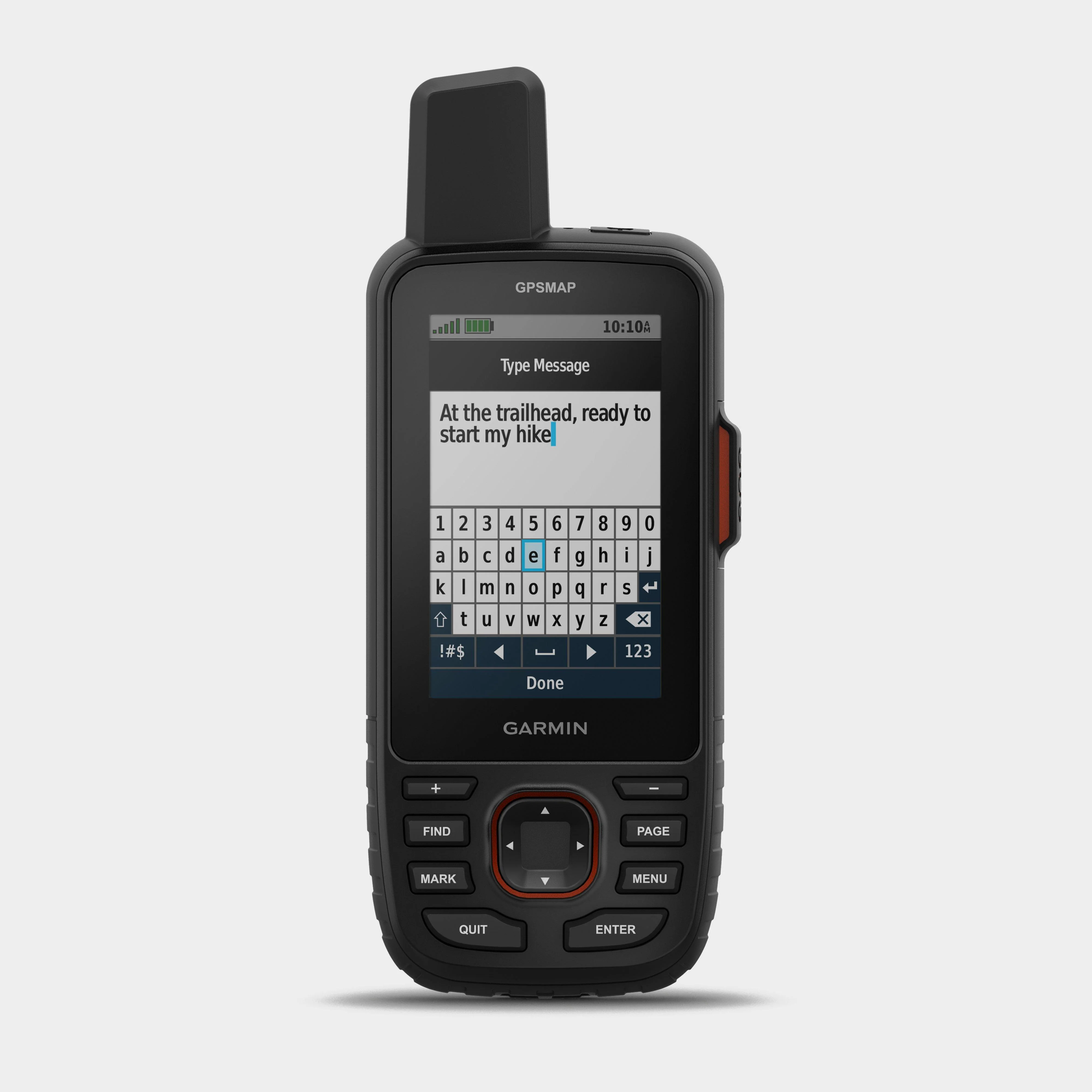

Description
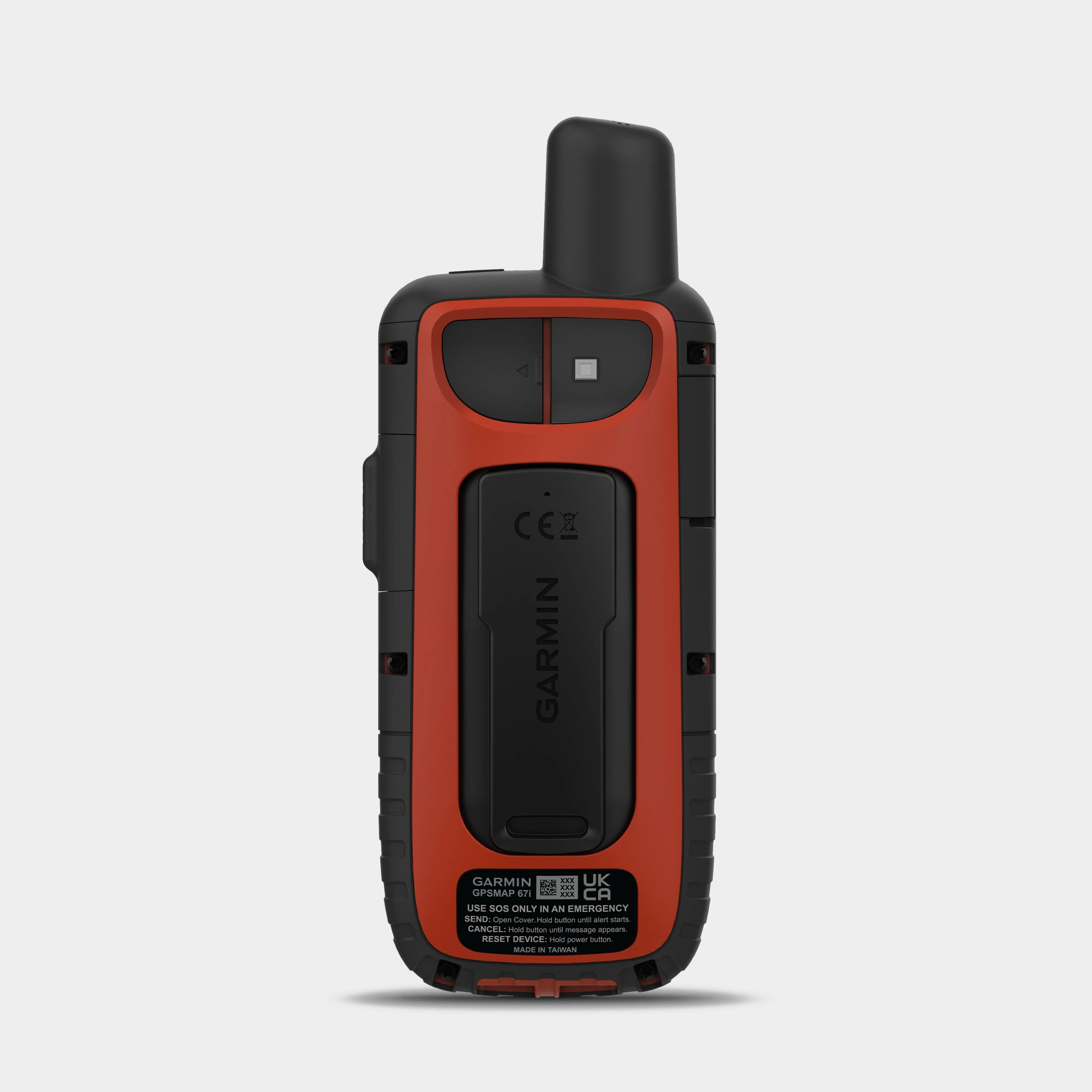
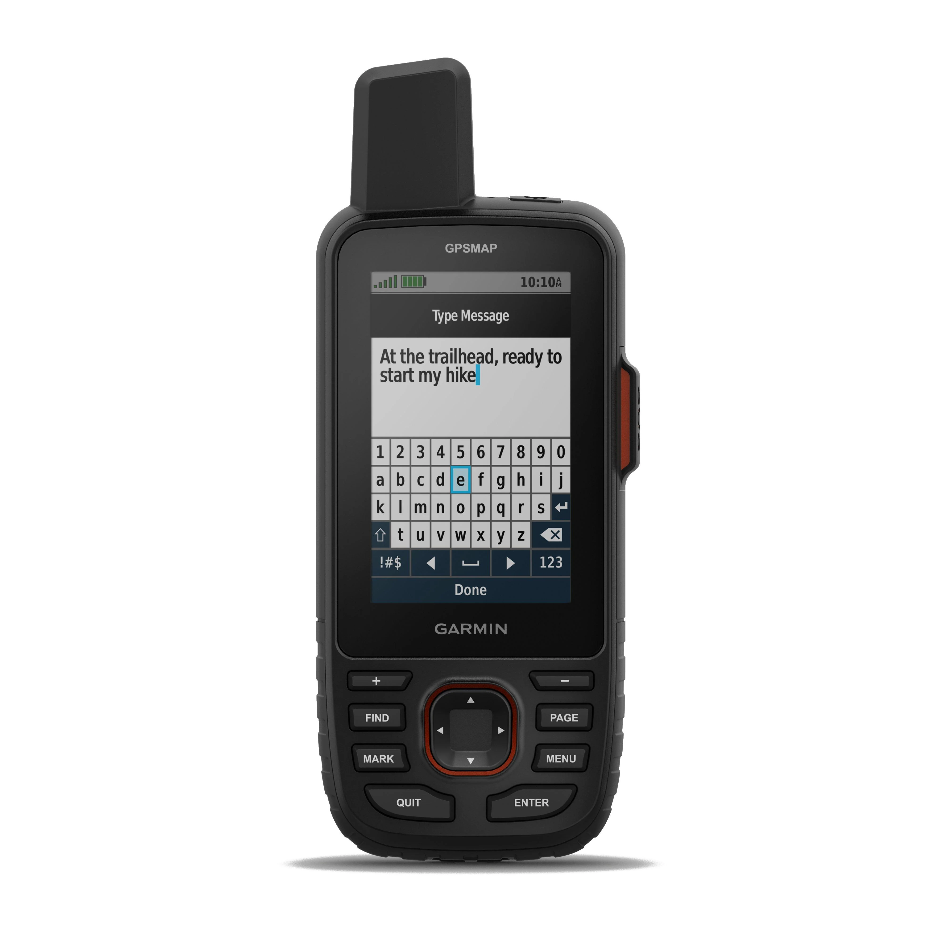
The Garmin GPSMAP® 67i is a rugged handheld GPS and satellite communicator that can help you stay safe and connected while exploring the outdoors. It features a built-in SOS button, inReach® satellite communication, and a flashlight, making it ideal for remote outdoor use.
The GPSMAP® 67i comes preloaded with TopoActive maps of Europe, as well as BirdsEye Satellite Imagery. These maps provide you with detailed information about the terrain, so you can plan your route with confidence. You can also add custom maps and points of interest to the device.
The GPSMAP® 67i is built to withstand the elements, with a water-resistant rating of IPX7 and a shockproof rating of MIL-STD-810G. It features a 3.8" colour display that is easy to read in bright sunlight, and it has a long battery life of up to 165 hours in tracking mode and up to 425 hours in expedition mode.
Key Features
- Preloaded TopoActive European maps
- Up to 425 hours of battery life in expedition mode
- Two-way messaging with GARMIN MESSENGER™
- Share your live location with tracking
- Global emergency SOS trigger
- Multi-band technology and GNSS support
Other Features
- Premium map features with Outdoor Maps+ subscription
- 100% Global Iridium® Satellite Network
- Plan, review and sync waypoints with GARMIN EXPLORE™
- Optional inReach weather forecasts
- Military standard thermal, shock and water resistance
- LED flashlight
- Geocaching
Technical specification
- IPX7 waterproof - 1 meter in water for 30 minutes
- Battery: Rechargeable lithium-ion (up to 180 hours in GPS mode)
- Weight: 230g
- Display: 3.8 x 6.3 cm (240 x 400 pixels)
- Case size: 6.2 x 16.3 x 3.5 cm
- Memory: 16gb
- Interface: USB-C
- In the box: GPSMAP 67i, Type A to Type C USB cable, Carabiner clip, Documentation